GeoAct is an earth observation consultancy specialized in the promotion, exploitation and adoption of geo information and innovative intelligent technologies. Headquartered in California, US, the company offers independent services in the main areas of computational and data sciences, remote sensing and geoformation technologies to address environmental challenges facing citizens, governments, natural resources managers and decision makers.
Utilizing Geospatial Big Data, Machine Learning and Cloud Computing
A Consultancy firm applying and developing ML Methodologies to geoscience and remote sensing problems.
Learn MoreOur Services
Geospatial Technology
Acquiring earth georeferenced or geo-located data for modeling, simulating and visualizing features, regions, or events while utilizing technologies such as Geographic Information System (GIS), Remote Sensing (RS) and Global Positioning System (GPS).
Multi-source remote sensing data fusion & Analytics
The multi-source data fusion used to integrate different spatial and spectral based resolution driven information from space or air borne sensors with ground to produce fused data that contains more detailed information than each of the sources does. The analytics approach involves the development and implementation of iterated composite of several directed modules based on the application.
Change Detection
Change Detection Analysis encompasses a broad range of methods and complex techniques utilized to outline, identify, describe, and quantify differences between images, events or phenomena of the same scene at different times or under different conditions.
Urban Sustainability modeling
Urban sustainability modeling used to improve the understanding of historical urban expansion, its socioeconomic drivers, and potential future urban expansion while addressing the potential environmental challenges and hence develop proper mitigation and adaptation strategies.
Meet our Professionals
Our team is a diverse group of elite scientists, researchers, engineers, brought together by a shared belief in the importance of observing our planet intelligently using sophisticated geospatial technologies to positively impact life on Earth.
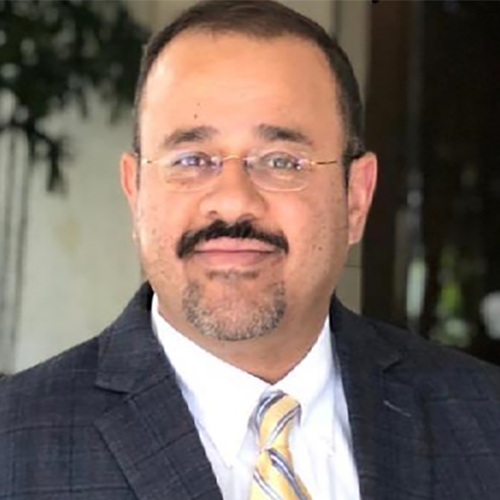
Professor El-Askary is an Earth System Scientist with a major interest in studying natural hazards, atmospheric events, climate change related issues with special emphasis on problems related to the study of desertification, and aerosols impact on renewable energy, and marine environment. He carries out his work by combining his physical and earth systems knowledge with new breakthroughs in machine learning and data mining; the outcome are ideas and proposals to address sustainable development goals. His work coordinates and integrates state-of-the-art Earth Observation activities to develop links and initiatives towards achieving the sustainable development goals (SDGs). His research interests include dust storms and air quality monitoring and detection using different remote sensing technologies as well as studying other extreme events. The impact of the changing climate on sea level and marine habits is a priority for him. His research also included using earth observations in studying impact of sever dust storms anomalous chlorophyll outbreaks in the marine environment, hurricanes intensification as well as transport of microbes’ causing Kawasaki disease outbreaks.
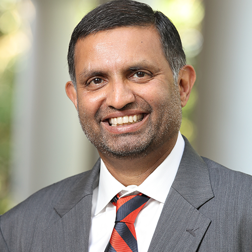
Dr. Lakshmi is a professor in Engineering Systems and Environment at the University of Virginia. He conducted foundational research in areas of catchment hydrology, water resources, floods, and droughts. Prior to coming to Virginia, he worked at the University of South Carolina as the Carolina Trustee Professor and chair of the department of earth and ocean sciences (2008-2011) and at the NASA Goddard Space Flight Center (1996-1999) in the Laboratory for the Atmospheres to developing linkages between remotely sensed satellite data to hydrological modeling. Dr. Lakshmi has authored or co-authored over 130 peer-reviewed journal articles and around 500 professional presentations, in addition to serving as a thesis supervisor for 40 graduate students. He has served appointments as the Cox Visiting Professor at Stanford University 2006-2007 and 2015-2016 and Program Director for Hydrologic Sciences at the National Science Foundation (2017-2019).
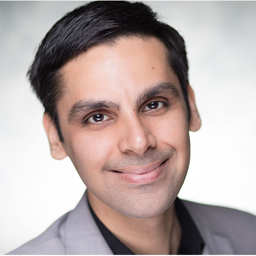
Anirudh Koul is a noted AI expert, UN/TEDx speaker, author of O'Reilly's Practical Deep Learning book and a former scientist at Microsoft AI & Research, where he founded Seeing AI, considered the most used technology among the blind community after the iPhone. He works at Pinterest helping incubate emerging technologies. With features shipped to a billion users, he brings over a decade of production-oriented applied research experience on petabyte-scale datasets. He also serves as an ML Lead for NASA's AI accelerator Frontier Development Labs, and coaches a podium-winning team for Roborace, the Formula One championship of autonomous driving @200mph. His work in the AI for Good field, which IEEE has called 'life-changing', has received awards from CES, FCC, MIT, Cannes Lions, American Council of the Blind, showcased at events by UN, World Economic Forum, White House, House of Lords, Netflix, National Geographic, and lauded by world leaders including Justin Trudeau and Theresa May.
Dr. Panagiotis Kosmopoulos is an Associate Researcher at the Institute for Environmental Research and Sustainable Development of the National Observatory of Athens in Greece. He received his B.Sc. in Geology and M.Sc. in Environmental Physics from the National and Kapodistrian University of Athens and holds a Ph.D. in Solar Radiation and Energy Forecasting from the Aristotle University of Thessaloniki. He has a 15-year professional experience (>120 publications; h-index 21) through national and EU-funded projects followed by a total budget of >30M euro. He exploits Earth observations, big data, fast radiative transfer models, short- and long-term forecasting approaches and high-performance computing for solar spectral irradiance studies, urban planning, aerosol and cloud physics, smart grids and all-scale solar plants management. He is the developer of various operational algorithms including the solar energy nowcasting and forecasting system that was used by electricity handling entities, renewable energy authorities and solar plant producers worldwide.
Olga Kalashnikova is a JPL aerosol scientist, the science Co-I on NASA’s MISR, MAIA and EMIT satellite missions, the science PI of the ER-2 aircraft deployments for 2016 ImPACT-PM and 2019 FIREX-AQ field campaigns, and the aerosol science lead for the spectrometer instrument currently in development for the Atmos decadal satellite mission. She has nearly 20 years of experience in aerosol optical modelling and remote sensing of aerosols. In addition, Olga is actively involved with Health and Air Quality communities, and has 7+ years’ experience in air-quality applications through MAIA mission concept formulation and implementation.
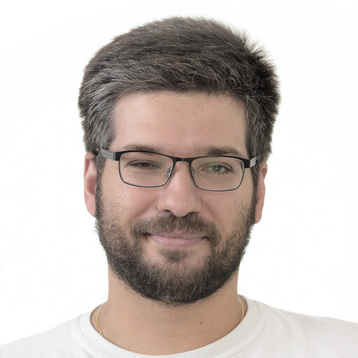
Nick is a data scientist and software engineer at the Jet Propulsion Laboratory, working on science data processing and instrument calibration for both satellite-based and airborne instruments. He is also currently researching multi-modal data fusion for object detection and tracking, with concrete applications including fire, smoke, algal bloom, sea ice, and dust detection and tracking using airborne and satellite-based instruments. His research interests include unsupervised machine learning, computer vision, hybrid deep learning architectures, and the utilization of these fields to propagate climate research and provide solutions to mitigate climate-related issues and aid ecological conservation efforts